THUNDERSTORMS: Torrential rain to bring end to sunshine in Nottinghamshire
and live on Freeview channel 276
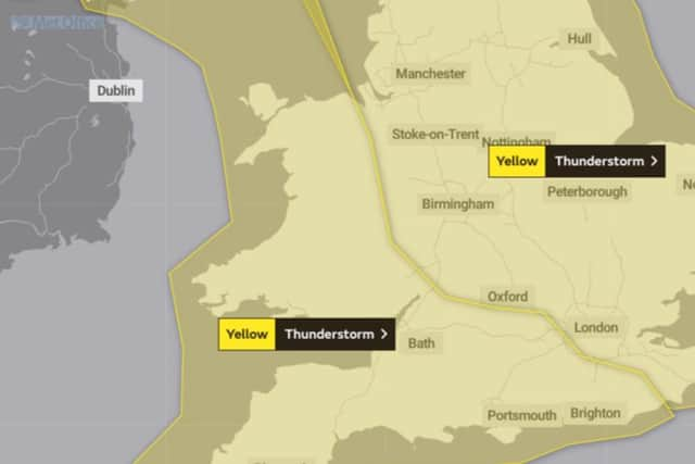
Many places will miss the storms, but where they do occur, torrential downpours could bring 30-50mm rain in a hour, with hail and lightning. The storms will slowly clear northeastwards on Friday night, perhaps not clearing northeast Scotland until Saturday morning.
Today will be dry with unbroken sunshine for most. Temperatures becoming very warm or hot, but it will be breezier and a little cooler on the coast later. Maximum temperature 29 °C.
Advertisement
Hide AdAdvertisement
Hide AdTonight it will be dry with plenty of evening sunshine across the region. Overnight skies will remain clear with a slight breeze for some. A rather warm night for many. Minimum temperature 15 °C.

Thursday will be another very warm or hot day with plenty of sunshine, still a little breezy and cooler along the coast though, the wind spreading inland during the evening. Maximum temperature 28 °C.
Outlook for Friday to Sunday: Warm and sunny on Friday but some isolated thundery showers later, perhaps torrential. Cooler, breezy and changeable on Saturday, with rain and showers. Sunny spells and scattered showers on Sunday.
There is a small chance that homes and businesses could be flooded quickly, with damage to some buildings from floodwater, lightning strikes. Where flooding or lightning strikes occur, there is a chance of delays and some cancellations to train and bus services. Spray and sudden flooding could lead to difficult driving conditions.
Advertisement
Hide AdAdvertisement
Hide AdThere is a small chance that some communities become cut off by flooded roads.